

sUAS in Geoscience: Leveraging Aerial Technology to Improve Workflow and Efficiency of Case Studies in Utah
The Utah Geological Survey (UGS) has successfully incorporated small unmanned aerial systems (sUAS) into its toolbox in order to assist geoscientists with field work. This addition is part of the newly formed Department of Natural Resources (DNR) sUAS program which regulates and manages the operation of this increasingly used technology tool among its divisions. Rapid data acquisition provided by an sUAS increases workflow efficiency while surveying large areas or challenging terrain. When aerial data are acquired appropriately, they can be used to create three-dimensional (3D) models of a study area as well as high-resolution orthomosaics facilitating a better understanding of both geologic
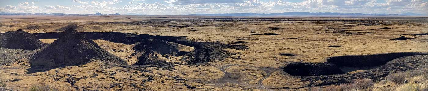
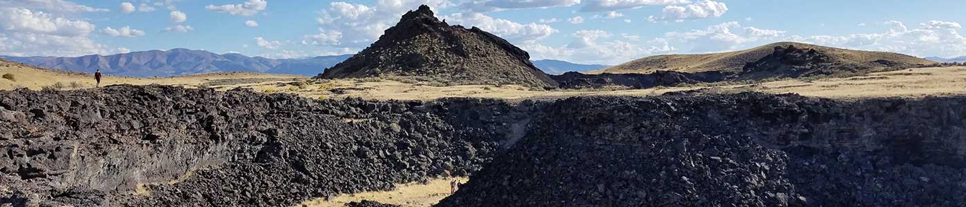
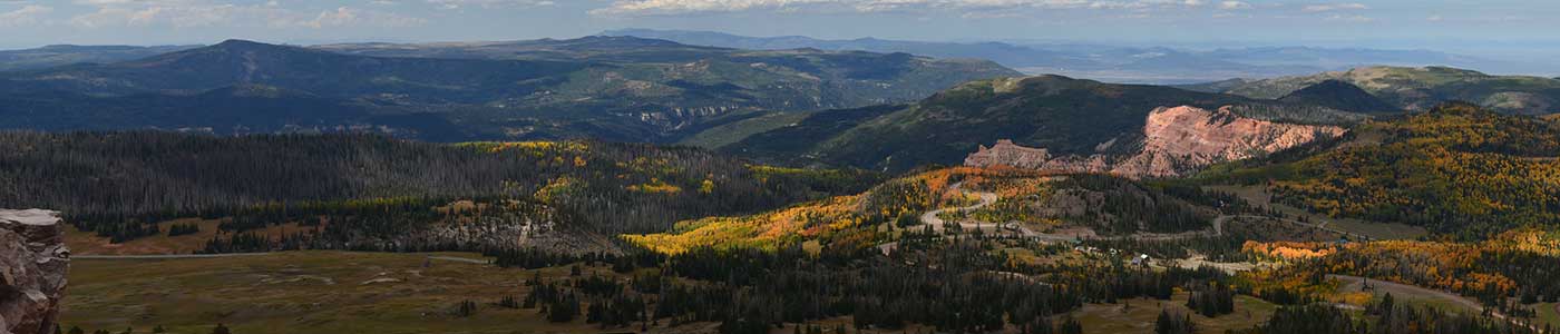
and man-made structures. The UGS has utilized an sUAS in numerous projects since the inception of the DNR sUAS Program. These projects have included geologic mapping, groundwater studies, geologic hazards characterization, biological studies, and reconnaissance operations in both emergency and non-emergency scenarios. With the key advantage of rapid deployment and processing, the sUAS has become an especially vital tool in geologic hazard analysis and is most frequently deployed for this purpose.
For UGS, traditional field-mapping methods are greatly improved with an sUAS by increasing field efficiency, staff safety, and expanding coverage to areas that may have been left out previously due to access, budgetary and/or time constraints.