

UGA 50:05 - Strain Partitioning Between Ductile and Brittle Stratigraphy— Characterizing the Sand Wash Fault System, Uinta Basin, Utah
- Riley Brinkerhoff - Wasatch Energy Management, LLC
- John McBride - BYU
- Sam Hudson - BYU
- Douglas A. Sprinkel - Aztec GeoSolutions
- Ron Harris - BYU
- Kevin Rey - BYU
- Eric Tingey - BYU
DOI: https://doi.org/10.31711/ugap.v50i.109
Abstract
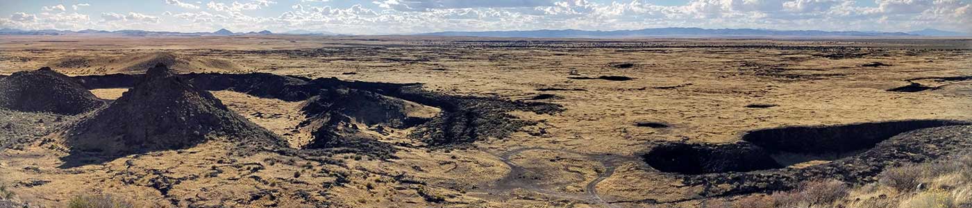
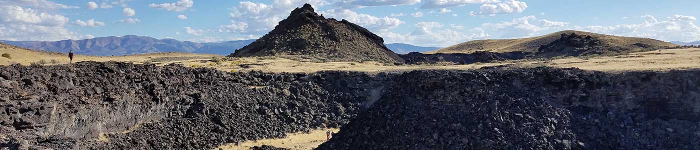
The Sand Wash fault zone is a segmented and discontinuous fault system that strikes northwest to south east in the central part of the Uinta Basin. It is approximately 34 kilometers long with an uncommonly wide damage zone, typically 100 to 200 meters wide. Due to recent, rapid, and large-scale incision by the Green River and its tributaries, the Sand-Wash fault zone is well exposed in several closely spaced canyons. These canyon exposures allow mapping of the lateral relationships through panoramic photographs and surface kinematic descriptions. Most movement on the Sand Wash fault zone occurred in the late Eocene, but minor, more recent movement likely occurred. Evidence for fault timing includes strata-bound, syndepositional movement which occurred during Lake Uinta time (55 to 43 Ma BP) resulting in debris flows, slump blocks, and small (>150 meters diameter) sag basins filled with poorly organized sediments. After lithification, elongate grabens formed with up to 33.5 meters of horizontal extension. Two styles of deformation are present. Brittle rocks, such as sandstone and limestone beds, are intensely fractured and faulted, whereas clay and organic-rich rocks are largely unfractured and unfaulted, with variably folded beds that have experienced some layer-parallel slip. Laterally, deformation is distributed up to 100 meters from the fault core, which is uncommonly large for faults with short lengths and little displacement. Vertically, displacement is concentrated in brittle sandstone and carbonate beds and rare in clay and hydrocarbon-rich units, such as the Mahogany oil-shale zone of the Eocene Green River Formation. The Mahogany oil-shale zone mostly displays ductile flow (granular flow) commonly forming small décollements between overlying and underlying units. Vertical displacement on separate fault segments is generally less than 5 meters and decreases down section, dying out completely around the top of the Mahogany oil-shale zone. In this paper we show evidence for syndepositional deformation along the Sand Wash fault zone, strain partitioning along décollement surfaces, fault surfaces that experience multiple deformational phases, pop-up blocks, and graben development. We also show that deformation on the fault zone is related to extension above a neutral surface of a larger fold. This larger fold is associated with a basement-rooted fault zone that moved during Laramide tectonism as the Uncompahgre uplift developed. The Sand Wash fault zone appears to have many similarities to the larger, and more deeply buried, Duchesne fault zone 25 kilometers to the north, and the more deeply eroded Cedar Ridge fault zone located 30 kilometers to the south. The high-resolution fault model, developed herein, is thus a good proxy for other complex fault zones in the Uinta Basin. Our model will be useful to oil and gas operators as they develop horizontal wells across this and other complex fault zones in the basin.
Cart
Your cart is empty